| Click here or on any picture to switch to slideshow |
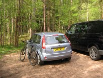 | After my round of the five Lochnagar Munros the day before, this was going to be a more leisurely day. I planned to take Ruth's bike up Glen Tanar to the foot of Mount Keen and climb it. Just one Munro, and definitely one that can be done much more easily with a bike. I didn't get up until about 7, had breakfast, then managed to adjust the seat on Ruth's bike after some fiddling - that was a relief! I stopped off in Ballater to buy the Scotsman but still couldn't find a tin opener at a reasonable price, so it was going to be more beans and sausages for dinner - from a tin with a ring pull, that is. Then it was off down the road on the south side of the Dee to Millfield, where I had to pay another £2 for parking - you could certainly tell you were in Aberdeenshire anyway. |
|
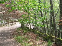 | I checked the OS map against the map at the local information point, and they seemed to be in agreement. The first part of the route is on a good track through woods, crossing and recrossing the Water of Tanar in order to stay out of the way of Glen Tanar House, another of those places that offers traditional Highland hospitality, no doubt at Aberdeenshire prices. |
|
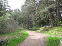 | The track heading up Glen Tanar |
|
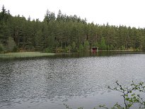 | The pond by Glen Tanar House |
|
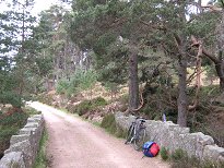 | The track is really quite good all the way to the foot of Mount Keen. It is never too steep, just a little bumpy in places. I was not to discover the main hazard until I was coming back down. About half way along the track you pass the appropriately named "Halfway Hut" - a small shelter which might be of help to those doing the whole route on foot. |
|
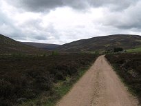 | Shortly after the Halfway Hut the trees give way to the open glen and you can start to see the hills around more clearly. The summit of Mount Keen is still not visible from here however. |
|
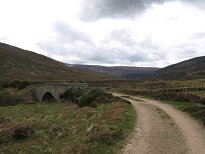 | The bridge at Etnach |
|
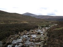 | It isn't long before Mount Keen comes into sight, along with the obvious scar of the bulldozed track climbing its northern ridge. |
|
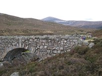 | Another bridge and Mount Keen |
|
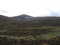 | As the track approaches the ruined Shiel of Glentanar the glen flattens out and becomes quite boggy although the track manages to avoid the bog for the most part. |
|
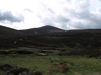 | The last bridge and Mount Keen |
|
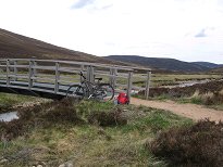 | The bike tied up |
|
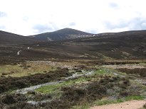 | Mount Keen |
|
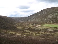 | The upper part of Glen Tanar |
|
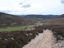 | Looking back down Glen Tanar |
|
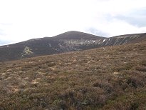 | Mount Keen from the ascent |
|
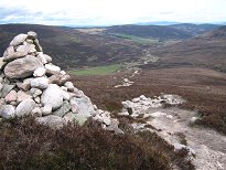 | Looking back to Glen Tanar |
|
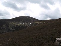 | The summit comes nearer |
|
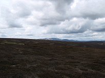 | Lochnagar to the west |
|
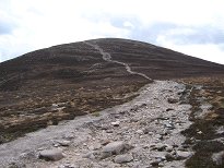 | The final ascent |
|
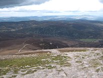 | Looking back down the ridge |
|
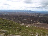 | Lochnagar from the ascent |
|
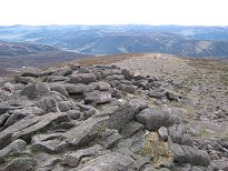 | Looking south from the summit cairn |
|
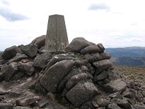 | The summit |
|
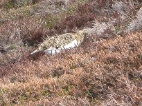 | A ptarmigan in the heather |
|
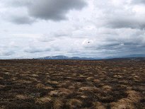 | Helicopter over Lochnagar |
|
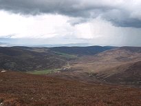 | Rain clouds over Glen Tanar |
|
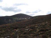 | Looking back to Mount Keen |
|
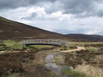 | Back at the bridge |
|
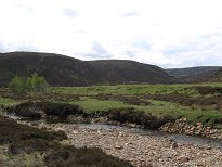 | The Water of Tanar |
|
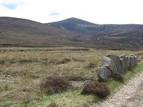 | A last look at Mount Keen |
|
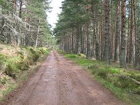 | The track back |
|
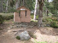 | The Half Way Hut |
|
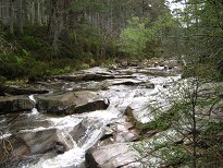 | The Water of Tanar |
|
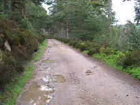 | Puddles on the track |
|
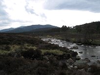 | The River Muick and Lochnagar |
|

