| Click here or on any picture to switch to slideshow |
| Armistice Day 2005, a day off work on a beautiful sunny November day in Provence. While some people in France were paying visits to war memorials and military cemeteries, I went on a sort of "remembrance trip" of my own, a walk along the GR6 from where it crosses the A7 autoroute at Roquerousse to the village of Vernègues, nine kilometres to the east. Coming north out of Salon on the N538, the starting point of the walk can be found by following signs to the Poste EDF at Roquerousse. This huge eletricity substation provided a delightful setting for the start of the walk. This was the first time I had been on the GR6 and I had no guidebook for it, just a 1:50000 IGN map and of course the red-and-white paintmarks to guide me. I was soon relying entirely on the paintmarks as the route near the beginning had been recently changed, and a new path led round the side of a large orchard. Had there been too many people helping themselves to the fruits of the owner's labours I wondered? |
|
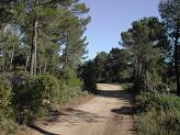 | After this the path wound through some dense woods before emerging onto a pleasant track through more open pinewoods. I met a few other people during the day, mostly joggers and mountain-bikers, but generally the route was pretty quiet. |
|
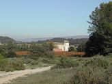 | Le Petit Senailler |
|
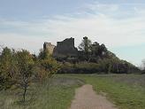
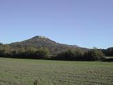 | As I got nearer Vernègues the track joined a series of increasingly more civilised roads through fields and vineyards and the hill on which the village is perched came into view. Or rather, the hill on which it was perched. Vernègues' main claim to fame, apart from a brief mention in one of the more obscure of Nostradamus' prophecies, is that it was totally destroyed by a violent earthquake on 11th June 1909 - an event that Nostradamus (who lived in Salon for much of his life) failed to predict, as far as I understand. On top of the hill can be seen the remains of a medieval castle, which was presumably already in ruins by 1909, although the earthquake probably didn't do it much good either. |
|
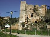 | One of the less ruined houses in old Vernègues |
|
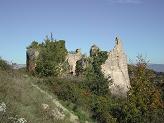 | I reached the village around midday, a scattering of ruins over the hillside, with several cellars still pretty much intact. I found myself a comfortable lunch spot on top of the ruins of one of the houses, with a magnificent view over the surrounding countryside. |
|
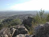 | Directly below was the new village of Vernègues, completely rebuilt after the earthquake, where apparently the cemetery has a disproportionate number of graves dated June 1909. |
|
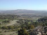 | Further off the most noticeable landmark was the impressive TGV viaduct, across which several trains rumbled while I was sitting having my lunch. |
|
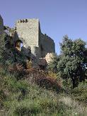 | The castle seen from below |
|
 | I now had to decide whether I was going to push on either to do a bit more of the GR6, or to visit another castle and the remains of a Roman temple at Chateau Bas a little way to the south east of Vernègues. In the end I decided I didn't have the energy for either of these, and instead I went up and strolled about on the flat top of the hill behind the ruined castle, where you can find one of the most elaborately situated viewpoint tables I've ever seen, set on top of a large round tower. Unfortunately the hill I was most interested in identifying, a prominent summit to the west, was on the section of the table that had been taken away for some reason. After this it was time to turn and head for home. A look at the map persuaded me that there was no alternative route that looked as nice as the GR so I simply retraced my steps of the morning. I got back to the car at about ten to three, giving a total time for the walk of about five hours. |
|

