| Click here or on any picture to switch to slideshow |
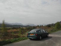 | The first day of our May trip for 2008 and the weather forecast was looking good. I had flown direct from Marseille to Edinburgh on the Friday and Howard drove up from Lancaster on Sunday, with the delay of having to fix a flat tyre just before setting off. We were up at 6.30 on Monday morning and on the road by 7.30, over the bridge and up the M90 to Perth. There we stopped to get the tyre replaced and to buy rolls for the next few days. The east coast was in haar and was to stay that way for much of the week. However as we headed up the A9 we were soon in sunshine. Our aim was to climb either Gairich or Gleouraich and Spidean Mialach, and then drive on to Kinloch Hourn and walk in to Barrisdale in the evening. We knew it was going to be a long day! This was a stop for elevenses by Loch Laggan. |
|
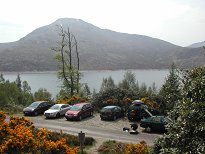 | We had another stop for some lunch after this then reached Loch Quoich by around 1.00pm. By now we had decided to climb the northern pair that day, as they looked slightly clearer than Gairich, and also because we knew the approach to Gairich was notoriously boggy and we hoped another three days of sunshine might improve things a little. |
|
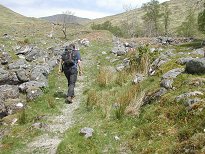 | As advertised, the stalker's path up onto Sròn a' Chuilinn was excellent. For the record it was no longer overgrown at the start, but neither was it marked by a cairn. Instead there was a sign with some information, and also a request that walkers should not use the path that crosses below Coire Mhèil when returning from Spidean Mialach so as not to disturb the deer. This would mean a slightly longer descent route, making the day even longer. |
|
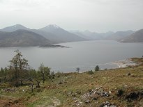 | The day was sunny but very hazy. We were both taking plenty of pictures, but I think I was taking more. This could explain why I was so often behind Howard on the uphill stretch - ha, ha, who am I trying to kid? Despite a fairly strenuous walk on Mont Sainte-Victoire the previous weekend I wasn't feeling all that fit and my legs were confirming this. |
|
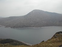 | Gairich seen across Loch Quoich |
|
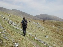 | Howard on the path with Spidean Mialach behind |
|
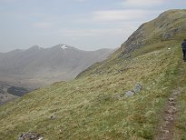 | As we climbed we began to get views of the South Glen Shiel Ridge, bringing back memories of <A HREF="walk.php?wa=26" CLASS="news">another long day</A>. I had no idea which summits we were looking at at the time, but looking at the map later I reckoned I could work them out. |
|
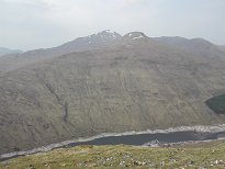 | There were also impressive views down into Glen Quoich and over to Sgurr a' Mhaoraich. Howard had already done this one, so it wasn't one of our objectives for the week. For me this would leave it as rather an isolated unclimbed summit, but it also meant that I could look forward to visiting the area again in the future. |
|
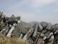 | Now what's this? A stalker's wall, perhaps? In any case it gave quite a nice photo opportunity for Spidean Mialach, which was looking rather a long way off at this stage. |
|
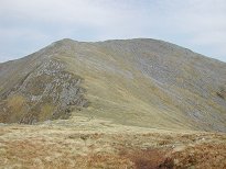 | Gleouraich from the top of Sròn a |
|
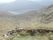 | We could tell that Coire Mhèil was deer country if only from the presence of this makeshift shooting hide perched strategically at its head. But had we actually seen any of the famous deer yet? Well, no we hadn't - where were they all? |
|
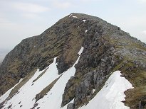 | Of course the stalker's path didn't continue beyond the hide, but there was still a pretty good path. We were on the ridge now, and were getting to see just how much snow there still was in the northern corries. Pretty soon we were approaching the summit of Gleouraich, our first Munro of the trip. |
|
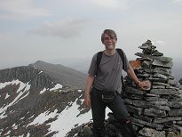 | There at last! And who is this handsome gent? Looks like he's been perspiring a bit on the way up - come on laddie, there's still another Munro to bag and a seven mile hike with a full pack to do before you get to your bed tonight! |
|
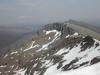 | Now we had a clear view all along the ridge to Spidean Mialach. The ridge walk looked fairly easy, although what we couldn't see from here was the drop down to about 750m at the bealach just before Spidean Mialach. The snowfields looked particularly impressive from here. |
|
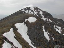 | We had stops at both summits and plenty of pauses for photos, etc, but never for too long as we had time pressure on. The ridge was a lovely walk, and what a day for it! |
|
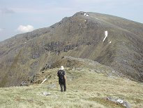 | And then we were coming to the end of Gleouraich and the drop to the bealach was coming into view. Oops! Doesn't look too bad though. |
|
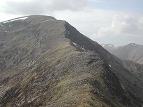 | Looking back to the ridge of Gleouraich |
|
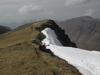 | Needless to say we were getting nice views of the South Glen Shiel Ridge all this time too, though still in complete ignorance of which summits we were actually seeing. This looks like Aonach air Chrith on the right. |
|
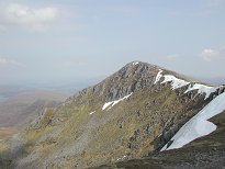 | Looking east along the ridge of Spidean Mialach |
|
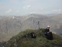 | Another pause, looking over to Druim Shionnach this time |
|
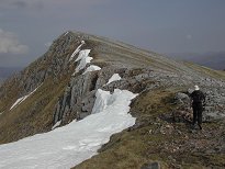 | Heading on towards the summit |
|
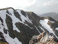 | The view back westward, more snow in the northern corries |
|
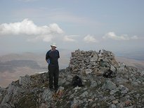 | It was half past four by the time we finally reached the summit of Spidean Mialach, which meant that we were running a bit behind schedule. But what exactly is that thing on the summit? A cairn? A shelter? Another very small stalker's wall? We may never know. Again it was time to head off pretty soon if we were going to get ourselves to Barrisdale before nightfall. |
|
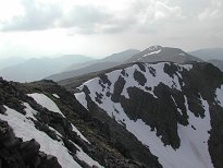 | The view west to Gleouraich |
|
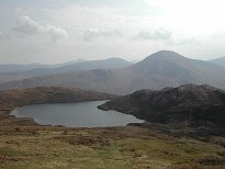 | We headed down on a fairly good path, heading towards Loch Fearna |
|
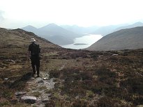 | And now it was time to decide on our return route. We hadn't seen a single deer all day and could see no sign of a path following the alternative route indicated on the sign at the car park. On the other hand, there were fresh bootmarks on the path below Coire Mhèil, so we decided to forget the alternative route and take the well-trodden path. Of course, there were still no deer in sight anywhere. |
|
 | A brief stop by the Allt a |
|
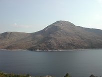 | Gairich looking very nice across the loch |
|
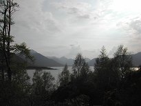 | We got back to the car at about ten past six. We'd set off at 1.20, so our total time was very close to the 4 hours 50 minutes estimate in Ruth's Cicerone guide, which I'd borrowed for the week. After a quick bite to eat we set off along the remaining miles to Kinloch Hourn, which was a beautiful drive. It was somewhere along here that we saw our first deer of the trip - calmly grazing at the roadside if you please! Presumably this is regarded by deer as a lot safer than wandering in Coire Mhèil, which is after all brim-full of stalker's paths and shooting hides… |
|
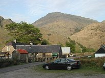 | We reached Kinloch Hourn at about quarter past seven. We'd estimated that it would take about two and a half hours to reach Barrisdale and we still had to cook dinner once we got there, so there was no time to lose. While I went to the farmhouse to pay our £6 parking fee for the three nights we'd be parked there, Howard attempted to quickly sort out what food we'd need to take with us. I also enquired about whether they could provide a meal for us, but alas all that was on offer was beans on toast or sandwiches, which wasn't really what we were after. |
|
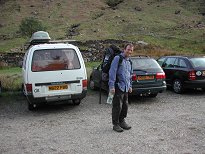 | I soon joined Howard and we began stuffing food into our packs. In our haste we probably erred on the generous side, but the packs didn't feel too heavy, at least at this stage. I had amused myself on Saturday by going to Graham Tiso's in Edinburgh and buying a brand new rucksack. I was now very glad I'd done this since it was a lot more comfortable than my old one, bought more than 25 years before. |
|
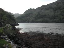 | The start of the walk by Loch Hourn |
|
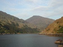 | The walk by the lochside was very nice, and there were still plenty of great photo opportunities, especially with the evening sun on the hills behind us. What I didn't realize at the time was that the big hill above Kinloch Hourn is in fact Sgurr a' Mhaoraich. |
|
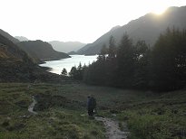 | Westward we could soon see the hills of Knoydart, notably Ladhar Bheinn whose unmistakable outline is clearly visible on the left here. |
|
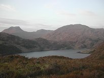 | It was just past Skiary that we encountered the first uphill section. These are clearly visible on the map, but somehow neither of us had actually noticed them and they came as something of a surprise. I mean, this was a walk that began and ended at sea level - what was the need for climbing? All together there are four ups and downs on the path, and they slowed us down quite a bit with the weight we were carrying. On the plus side, being higher up always gave more good views for photos! To the north we could see the Saddle, the Forcan Ridge and Sgurr na Sgine, which of course aren't all that far away. |
|
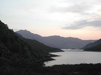 | After the first two ascents we were getting pretty tired. Ladhar Bheinn was inching closer, but the walk seemed to be turning into an interminable slog. However, the conditions were otherwise ideal - it was dry underfoot, the views were great and there were no midges. If only we hadn't had these dirty great packs and were able to take our time it would have been a beautiful walk. |
|
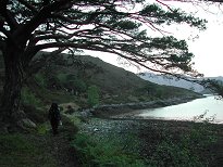 | We trudged on with sore shoulders and sore feet, expecting to see Barrisdale Bay opening out before us round each headland only to find yet another headland a depressingly long way off. Neither of us had a map handy so we couldn'st see how far we still had to go, although this may have been a blessing in disguise! |
|
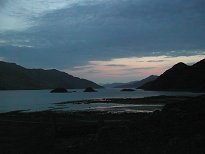 | And then at last we reached Barrisdale Bay as the light was failing. This picture was taken at about ten to ten. There was still another mile to go before we got to the Stable where we were booked in for the next three nights and we finally got there at half past ten, the walk having taken us three hours. We disturbed the lady at the farmhouse from her shower, but she was very pleasant. She said she'd given up hope of seeing us after about 9 o'clock. The Stable seemed like luxury after the gruelling walk. The trouble was that we were so exhausted that neither of us felt particularly like eating any of the vast pile of food that we now unloaded from our packs! So we had some soup and nibbled this and that then fell into bed. Lights out at 11 o'clock - literally, since the generator went off then. I was asleep soon after. |
|

