| Click here or on any picture to switch to slideshow |
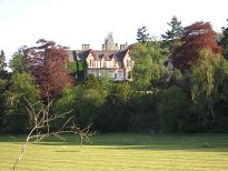 | Breakfast at the Dundarach Hotel, so Ruth had been told, was not served until 8 o'clock. Plenty of time then for an early morning wander to work up a bit of an appetite. And what a morning it was for it! As I made my way down towards the River Tummel there wasn't a cloud in the sky. It looked like we were in for a great day in the hills again. |
|
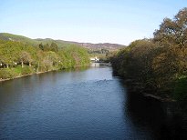 | The River Tummel looking west |
|
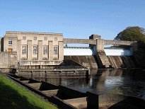 | I was following signs to the Festival Theatre and the Fish Ladder which is beside the Faskally Dam. The dam was completed in 1950 and very nice it looks too, for a hydro-electric scheme anyway. The special attraction of the dam is the visitor centre and viewing gallery where you can see salmon swimming up through the system of tunnels that make up the fish ladder. It was of course closed at this hour in the morning so I didn't see anything. |
|
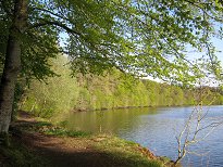 | The building of the dam created Loch Faskally which also looks very nice, especially on cloudless mornings in May. I believe there's a walk that takes you right round the loch, but breakfast was calling by this stage so I tunred around not far from the dam and headed back to the hotel. |
|
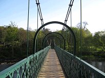 | The quickest route back was over the Port-na-Craig suspension bridge. Back at the hotel we had a hearty breakfast - just as well I'd been working up an appetite! Then Ruth and I set off by about 9 o'clock, heading for Glen Lyon. |
|
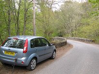 | We stopped off in Aberfeldy to top up my phone and our Irn Bru supplies and reached Invervar by about 10 o'clock. I really couldn't remember whether I had ever visited Glen Lyon ("our glen" as Ruth called it) - this may have been my first time. We missed the unmarked car park at Invervar, but rather than going back to look for it we just squeezed in at the side of the road just before the bridge. We set off walking at 10.15. |
|
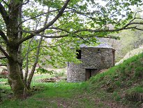 | The disused circular stone building quite near the start of the path we guessed might have once been a doocot. In fact it was a lint (or linen) mill which was built in the late 18th century by Ewan Cameron of Lawers to mechanize the production of linen from locally grown flax. You don't think of Glen Lyon as being a hotbed of the industrial revolution, but the proof was here before our very eyes (except that we thought it was a doocot). |
|
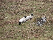 | Of course the days of Invervar being a throbbing industrial heartland are long gone, thanks to the clearances. Here are two of the culprits - the local population was moved off the land to make way for widespread sheep-farming not only here of course, but across large swathes of the Highlands. |
|
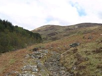 | The sky was now cloudier but it was still quite sunny and pleasant as we walked up by the Invervar Burn. We followed the burn for a little way past the trees seen here on the left, then struck up to the southwest before we reached the abandoned shielings marked on the map - of which we saw no sign it has to be said. Perhaps they've been carefully hidden by work parties of sheep trying to cover up incriminating evidence of the clearances. |
|
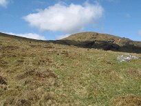 | We now found ourselves on a diagonal line heading up the flank of Carn Gorm's southeast ridge. We weren't following any path but the going was fairly easy nevertheless. |
|
 | Looking north to Meall Garbh |
|
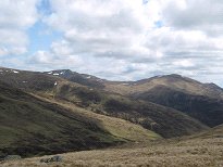 | Looking east to Carn Mairg and Meall nan Aighean |
|
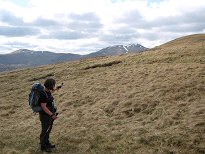 | The Lawers Ridge comes into view |
|
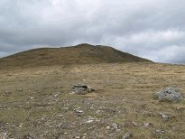 | Approaching the summit of Carn Gorm |
|
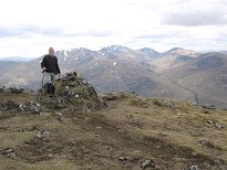 | It took us just over two hours to reach the summit of Carn Gorm, the first Munro of the day. By now of course we could see the Lawers Ridge looking very impressive still with patches of snow on all the summits. We stopped for a bit to enjoy the views but not for too long as there was a very cold wind by now. |
|
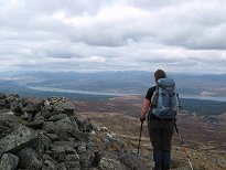 | Looking north over Loch Rannoch |
|
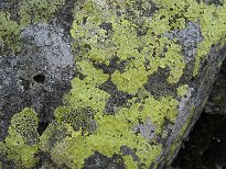 | No, this is not in fact a photo taken by mistake, but a close up study of some of the local flora. The picture doesn't really do it justice but the colour of this lichen was quite striking, almost luminescent. I say "flora" but lichen is not in fact just your average plant, but a symbiotic organism consisting of a fungus with a photosynthetic alga. I can assure you, there's some pretty cool stuff going on on this here rock. |
|
 | Looking over Carn Mairg to Schiehallion |
|
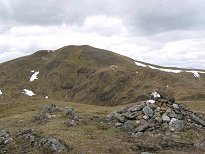 | We headed down fairly steeply from the summit of Carn Gorm heading for Meall Garbh. I made a short detour to climb An Sgorr, a Munro Top. Ruth didn't bother as she had already done it when she'd been here before. It was just below the summit of An Sgorr that I filled my now empty Irn Bru bottle with a mixture of snow and water from my other bottle. We then pushed on to Meall Garbh which wasn't far away. |
|
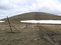 | Snowpatch below Meall Garbh |
|
 | As we trudged up the slope to the summit of Meall Garbh little did I know what was awaiting us there - surely the fencepost phenomenon of the Scottish Highlands to beat them all! Ruth said that she remembered "a few" fenceposts in the cairn when she was last here six years before. Now the cairn appeared to consist of little else apart from fenceposts. This apparition most definitely merited a video all to itself. Ruth's recollection obviously raises the question of how the quantity of fenceposts grew from "a few" to what we saw before us now. Is there someone obsessed with gathering old fenceposts together in one place? Do they come here often? Do they have other similar collection points scattered around Scotland? Or is this in fact "fencepost heaven"?? |
|
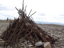 | Fencepost Heaven - the video! |
|
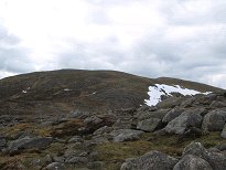 | Looking back to Meall Garbh |
|
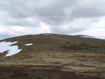 | It was now about 1.30 and we hadn't yet had lunch. However we'd had a late breakfast and we wanted to be further along the ridge before stopping so we decided to press on to the next bump we could see ahead, which we thought was Carn Mairg, the highest point of the ridge. This seemed like a suitable goal for a lunch stop. On the way we met two people who assured us we were "almost halfway". Ruth disagreed with this, saying we had already passed the halfway point, but with hindsight we probably weren't. The trouble was that what we'd thought was Carn Mairg was only Meall a' Bharr, another Munro Top about 1km short of the summit of Carn Mairg. |
|
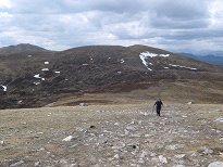 | Ruth climbing Meall a |
|
 | We reached the summit of Meall a' Bharr, which is probably about the real halfway point, and found a nice wind shelter there. We were therefore easily persuaded to stop and have lunch there in comfort instead of keeping on to Carn Mairg, which still looked quite far away. |
|
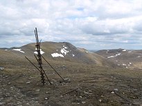 | With our lunch inside us we pressed on. Although it had looked quite far, it didn't actually take all that long to cover the distance to Carn Mairg. We were aiming for the top of the crags, but when we got closer we found that the summit cairn was not actually there, but just a short way to the north. |
|
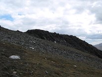 | The rocky summit of Carn Mairg |
|
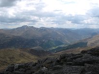 | The Lawers Group from Carn Mairg |
|
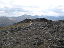 | The summit of Carn Mairg |
|
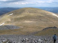 | It was at the summit of Carn Mairg that a couple who'd been following us finally caught us up, and we chatted briefly with them. However we didn't stay long. Ruth said she wanted to make the detour to take in Meall Liath, yet another Top, which I was quite happy to do. However as we headed steeply down over the boulder field she changed her mind and decided it wasn't worth the effort, even though it now looked closer and less of a detour. Instead we just swung round towards Meall na Aighean, the fourth and final Munro in the circuit. As Ruth said, it still left her something new to do another time. |
|
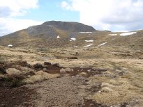 | Looking back to Carn Mairg |
|
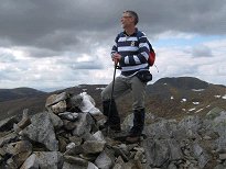 | The descent and ascent to Meall na Aighean was gentle and not too steep, although by this stage we were both feeling pretty tired. Here I am looking very proud of myself at the top of my fourth Munro of the day. There is some confusion about the name of this Munro. Older lists and guidebooks usually refer to it as Creag Mhor, however this is now generally regarded as being a somewhat lower summit on the long eastern spur. The Munro summit is Meall na Aighean, or possibly Meall nan Aighean - both are used, and not being a Gaelic expert I can't say if one is more correct than the other. |
|
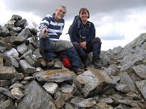 | Twosome on Meall nan Aighean |
|
 | After the celebratory photos we started on the long walk back down to Invervar. We started by going over Meall na Aighean's western summit, although after we'd done this we decided it probably wasn't necessary. We then got onto a good clear path for the long descent, which was of varying steepness, although never really steep. |
|
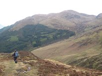 | It had clouded over during the day, but the cloud had never come near the tops of the hills, and it was now starting to brighten again. We broke into running here and there where the path was at a good gradient, but mostly it was just a long tramp. |
|
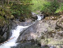 | The sun actually came out again for the last stretch as we joined the upward route beside the Invervar Burn and headed back down through the forest, over the two stiles, and finally back to the road and the car, which we reached at 5.40. This made a round trip of 7 hours 25 minutes in all, which doesn't compare badly with the Cicerone guide's "6h30" and Cameron McNeish's "6-8 hrs". |
|
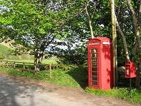 | Phone box at Invervar |
|
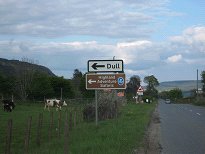 | It was a fast drive back to Pitlochry, stopping only to take this irresistible photo. I'd first noticed this when Ruth and I climbed Schiehallion in 2002 and had wished ever since that I'd taken a photographic record. A village with a name like Dull obviously has its work cut out for it in trying to attract tourists, but the promise of "Highland Adventure Safaris" might just tip the balance. I am of course wondering what exactly you can expect to happen on a Highland Adventure Safari - clearly I'll just have to go back to Dull some day and find out! Meanwhile I heard recently that Dull has been officially paired with the city of Boring, Oregon. Sounds like an exciting prospect all round... In the evening we went out for a great bar meal at the Moulin Hotel, which was recommended by Ruth and certainly lived up to expectations. |
|

